If there’s an island out there that’s known for hiking it has to be Madeira. This Portuguese island off the coast of northwest Africa is home to incredible nature, beautiful walking trails, and stunning mountains. The amount of hikes in Madeira alone is crazy.
After four months of exploring the island, we only scratched the surface of all the beautiful trails.

The whole island is covered in incredible trails partially because of the “levada network” around the island and partially because of the insane and incredible mountain & volcanic landscapes, you’ll find in Madeira.
You can find over 450 trails in Maderia, 200 of which are levadas, over 3000 km of trails combined, all on an island that is just the size of 801 km².
In this post, you will find some of the most amazing hikes you can do in Madeira.
Under each hike, you can find the official trail name, starting location, distance, difficulty, and much more. You will also find a free guide you can download for your trip to Madeira.
Disclosure: This post contains affiliate links which means if you decide to use the links and make a valid purchase, we will receive a small commission at no additional cost to you. Thank you <3
12 of the best hikes in Madeira
Know before you go:
- 🎟 Book your guided Madeira hikes on GetYourGuide
- 👩🏼⚕️ Insurance: Make sure your adventures are insured with SafetyWing
- 👞 Wear waterproof hiking boots
- 📸 Bring your camera and get Insta ready
- 🚘 Rent a car through DiscoverCars for the best rates
⚠️ Pro tip: A lot of Madeira guided tours book out in advance during the summer months so we recommend you book at least a few days in advance if you want to ensure you get a spot.
We can’t stress this enough but Madeira is probably one of the best places we’ve ever hiked (and we’ve done our fair share of hiking).
From Funchal, the capital city of Madeira, you have hiking trails like Levada do Bom Sucesso that leave right from the city.
Go less than an hour east and you’ll have a completely different landscape on another of the best hikes in Madeira, PR8 Ponta de São Lourenço.
And if you go west or north as well, you will again be met by completely different views thanks to all the mountains and the micro-climate that Madeira has.
Let’s dive in!
#1 PR1 – Pico do Arieiro hike


Official trail name: PR1 – Pico do Arieiro – Pico Ruivo
Location: Starts close to Funchal, ends close to Santana
Distance: 13.2 km return / 8.2 miles return
Elevation: Roughly 1180 m / 3871 ft. elevation gain
Type: One-way trail
Length: 5-6 hours total (with breaks, hiking to Pico Ruivo, and to the last car park)
Difficulty: Hard (lots of ascents and descents)
Rating: 5/5
Click here to see a map of the beginning of the Pico do Arieiro trail.
Pico do Arieiro is the PR1 and also the most famous hike in Madeira. The main reason for this is because of the fact that you visit three of the tallest peaks in Madeira (Pico Ruivo, Pico Das Torres, Pico Arierio).
You start at Pico do Arieiro (also spelled Pico do Areeiro) and make your way to Pico Das Torres. Then near the end of the hike you end up at the tallest of the three, Pico Ruivo which is also the best sunrise spot in Madeira (more about this in the next hike on this list).
The PR1 has to be the most stunning hike on the island when it comes to sheer mountains and just having a 360 view of the whole island. It feels pretty surreal hiking the ridge lines from mountain to mountain. Then through caves and along the sides of some of the most extreme mountains on the island.
Out of all the hikes in Madeira, Pico do Arieiro is definitely one of the most challenging ones but also one of the best. If you’re up for hiking up in the mountain peaks above the clouds (yes, you can see cloud inversions here!) and visiting some of the highest points of Madeira, this hike is worth checking off your list.
You can book a guided tour in advance for Pico Arieiro here.
Read more: The Most Famous Hike in Madeira – Pico do Arieiro (PR1)
#2 PR1.2 – Pico Ruivo hike
Official trail name: PR1.2 – Pico Pico Ruivo
Location: Start and finish are both at the Pico Ruivo parking lot close to Santana
Distance: 5.5 km return / 3.41 miles return
Elevation: Roughly 530 m / 1738 ft. elevation gain
Type: In and out
Length: 1.5-2.5 (watching sunrise and snack break)
Difficulty: Hard (lots of ascents and descent)
Rating: 5/5
Click here to see a map of the beginning of the Pico Ruivo Trail.
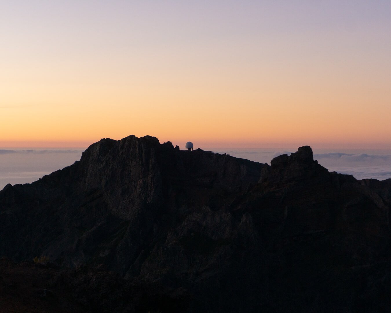
The Pico Ruivo hike is a section of the PR1 Pico Arieiro hike in Madeira. Instead of hiking the whole PR1 you can start on the Pico Ruivo side and only hike the PR1.2 which in our opinion is where you can see the best sunrise hike in Madeira.
You can stay the night at this little cabin called Casa de Abrigo right at the foot of where the official PR 1.2 trail to Pico Ruivo starts. From the hut it’s only a 10-15 minute hike in the morning to get to the highest point in Madeira at the top of Pico Ruivo. And that’s where you get the best sunrise spot in all of Madeira. It’s absolutely incredible!
The hike from the Pico Ruivo parking lot to the hut and then to Pico Ruivo isn’t too long but it offers some stunning views along the awy. This hike really gives you a feel for what it’s like hiking above the clouds in Madeira.
If you wish to do a full day hike, the PR 1 from Pico Arieiro (the first hike we mentioned) is worth doing because it’s so long and you see a lot more. If you wish to just do a sunrise hike in Madeira (or if you’re looking for something more short and sweet than PR 1), Pico Ruivo is worth doing to see the highest point on the island.
We hiked up by ourselves but you can do guided tours of Pico Ruivo which you can book in advance here.
Read more: The Best Sunrise Spot in Madeira: Pico Ruivo
#3 PR6 – Levada 25 Fontes hike
Official trail name: PR6 – Levada das 25 Fontes
Location: Rabaçal Valley
Distance: 10.1 km return / 6.27 miles return
Elevation: Roughly 755 m / 2477 ft. elevation gain
Type: Loop trail
Length: 3-3.5 hours return (depending on how long you admire the waterfalls)
Difficulty: 3/5
Rating: 4.5 out of 5 stars
Click here to see a map of the beginning of the Levada 25 Fontes trail.
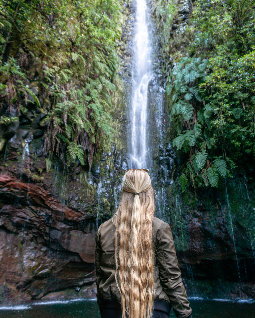
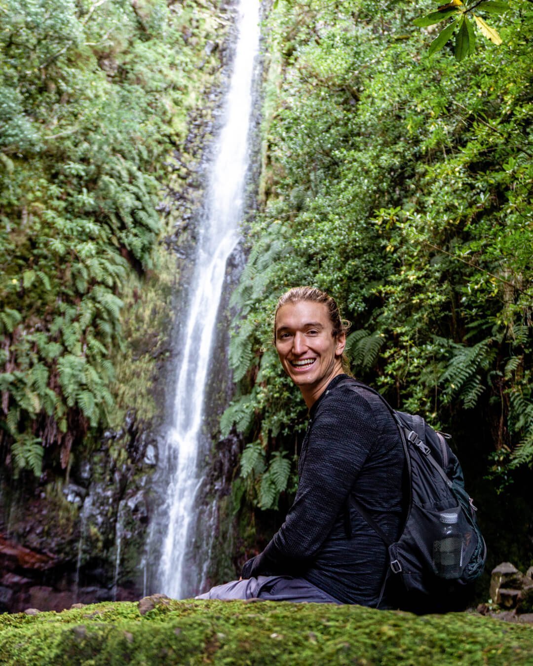
PR6 Levada 25 Fontes is one of the most visited and iconic hikes in Madeira. The famous Risco Waterfall you see on the trail is one of the main reasons. The other main reason are the La Cascata das 25 Fontes which is what you see in the images above.
This area (Rabacal) is also one of the most beautiful areas on the island. You’ll see just how lush and green it is right from the start of the hike before you start making your way into the forest where the real fun begins.
For most of the trail you will follow a levada (a man made irrigation system) that goes towards the waterfalls. As you get further into the forest one of the most famous waterfalls in Madeira will appear, Risco Waterfall.
You’ll take in the views of Risco before descending further into the forest. This area in our opinion is the most breathtaking part of the whole trail. The 25 cascading waterfalls known as La Cascata das 25 Fontes.
The 25 Fontes is the most beautiful part of the whole hike and it’s also the turning back point. After you’ve taken in the views of these waterfalls you’ll start the hike back up through the forest and back to the levada.
You can book a guided tour for Levada das 25 Fontes here. The link will take you to a tour with Lido Tours which is the company we went with (and loved!).
Read more: The Best Waterfall Hike in Madeira – Levada 25 Fontes
#4 PR6.2 – Levada do Alecrim Waterfall hike
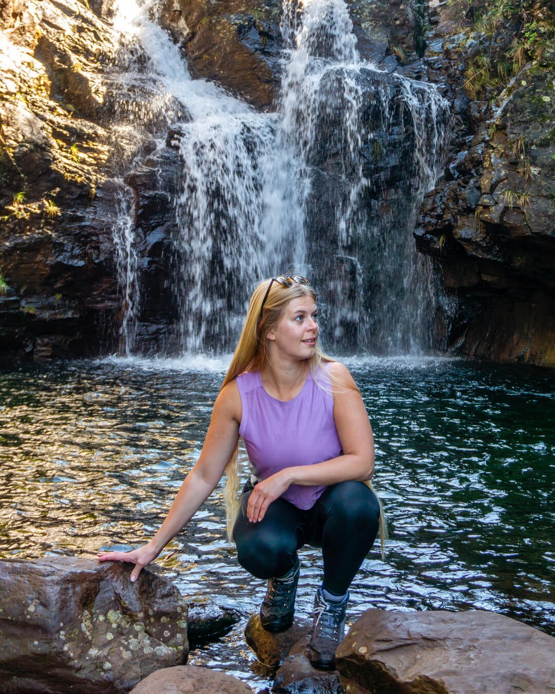
Official trail name: PR 6.2 – Levada do Alecrim – Vereda da Lagoa do Vento
Location: Rabaçal Valley
Distance: 8 km return / 4.97 miles return
Elevation: Roughly 604 m / 1981 ft. elevation gain
Type: Loop trail
Length: 3.5-4.5 hours total (includes time for a swim and a lunch break)
Difficulty: Moderate (because of the distance)
Rating: 4/5
Click here to see a map of the beginning of the Levada do Alecrim trail.
Also located in the Rabaçal Valley, the Levada do Alecrim trail basically has the same starting point at the Levada 25 Fontes hike mentioned above. The Rabacal area is home to many awesome hikes and 25 Fontes and Alecrim are just a few of the great hikes that start up here.
Levada do Alecrim can actually be done as a lollipop trail which is nice because you get to see more of the forest and end up seeing the famous Risco Waterfall as well.
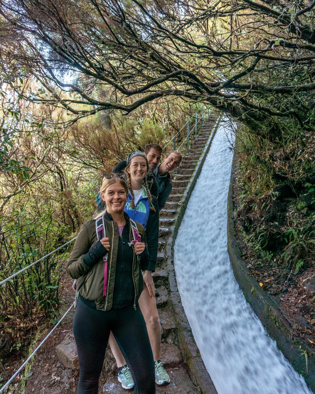
Levada do Alecrim is a relatively easy hike where you’ll follow the levada for most of the hike. There aren’t too many big inclines or declines if you just follow the levada but you’ll see a pretty cool “levada waterfall” while you walk up some stairs. Overall, the trail is quite flat as it doesn’t go deep into the forest unless you do the lollipop version of the trail (read more about it here).
Like many hikes in Madeira, Levada do Alecrim ends up at a beautiful waterfall. This one is called the Lagoa Dona Beja Waterfall. The best part of this hike is that it’s way less touristy than Levada 25 Fontes. So you can enjoy lunch at the falls without too many people there.
On the way back, if you do the lollipop trail you start going back the same way as you came in but then take a turn and go a different way and see Risco Falls. Shortly after the turn, you’ll connect with the main trails in the forest from where you can get to the upper part of the Risco Waterfall.
You can book a guided tour for Levada do Alecrim here. Note that the guided tours usually don’t do the lollipop trail but just the in-and-out version to the waterfall and back.
Read more: Hiking the Beautiful Levada do Alecrim Waterfall Trail
#5 PR8 – Ponta de São Lourenço hike


Official trail name: PR8 – Vereda da Ponta de São Lourenço
Location: Caniçal – at the eastern most point of the island
Distance: 7.4 km return / 4.6 miles return
Elevation: Roughly 412 m / 1351 ft. elevation gain
Type: In and out trail
Length: 4-5 hours return (including lunch and a dip in the ocean)
Difficulty: 4/5
Rating: 4.5 out of 5 stars
Cost: €1 to enter (card only)
Click here to see a map of the beginning of the Vereda da Ponta de São Lourenço.
Ponta de São Lourenço aka the Dragon’s tail, is the most eastern hike in Madeira. This hike takes you along the back of a dragon (at least that’s what it looks like) to the viewpoint, Miradouro Ponta do Furado.
Along the way, you’ll pass plenty of awesome viewpoints, beaches, and even a little cafe where you can order food and use the bathroom.
The trail itself is absolutely stunning! As you walk, you’ll have the ocean on both sides of you so the views throughout the whole trail are absolutely breathtaking.
As you walk from viewpoint to viewpoint, you’ll see the coast on both sides, a few beaches (bring your swimsuit), and you might also see some beautiful wildflowers along the way. Ponta de São Lourenço keeps you entertained the whole time!
One of the unique things about hiking the PR8 is the landscape. It’s a lot more volcanic than the rest of the island where you find more forest and lush green areas. Even though we love all the forest and flora you find around Madeira it’s fun hiking in the volcanic area since it’s less common in Madeira than the levada walks.
The hike itself is great and a must-do while you’re visiting Madeira!
We did this hike on our own but if you wish to do this with a guide, you can book a guided tour for São Lourenço here. This is with the tour company that we used and loved for the guided tours we did in Madeira.
Read more: PR 8 – Ponta de São Lourenço and hiking the Dragon’s Tail
#6 PR9 – Levada do Caldeirão Verde hike


Official trail name: PR 9 – Levada do Caldeirão Verde
Location: Santana
Distance: 11.8 km return / 7.33 miles return
Elevation: Roughly 200 m / 650 ft. elevation gain
Type: In and out trail
Length: 4-5 hours total (includes time for pictures and hanging out at Caldeirão Verde)
Difficulty: Moderate-hard (fairly long and a good bit of elevation up and down)
Rating: 4.5/5
Click here to see a map of the beginning of the Levada do Caldeirão Verde trail.
The Levada do Caldeirão Verde is one of the most beautiful hikes on the northern side of the island. Located not too far from Santana and deep in the Parque Queimadas, you’ll find this stunning trail that leads to one of the most powerful waterfalls on the whole island.
The hike starts out easy and gradually builds some incline as you get further into the hike. Even though the beginning of the trail is quite covered in the forest you still get some excitement with a few smaller waterfalls along the way that build it up for the big one.
The hiking trails in Madeira are just incredible and you’ll see it firsthand on the PR9 hike. The trails are so well maintained and easy to follow with signs everywhere.
The hike itself isn’t too challenging. If you look up the trail on AllTrails it does seem like there’s a lot of elevation gain to get to Caldeirão Verde but the information is inaccurate. The walk is very flat and takes you through 4 tunnels and under some waterfalls. Those are your main challenges – not the elevation.
Eventually, you’ll get to the enormous Caldeirão Verde Waterfall and you’ll see just how powerful it really is. Right before the waterfall is the best spot to have lunch before you head back to the parking lot.
If you’re looking for more waterfalls, you can continue on the trail to the Caldeirão Inferno. This is an add-on to Caldeirão Verde and adds at least an extra 3 hours to your hike. And this one has a lot of incline!
You can book a guided tour for Levada do Caldeirão Verde here.
Read more: Hiking and Chasing Waterfalls on the Levada Do Caldeirão Verde Trail
#7 PR10 – Levada do Furado hike
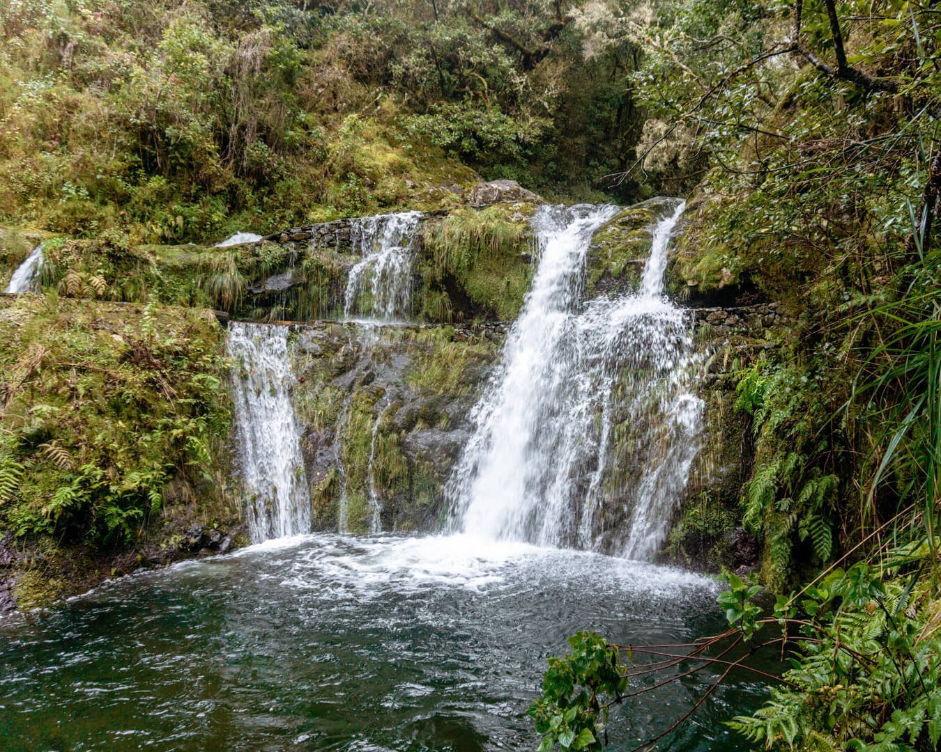
Official name: PR10 – Levada do Furado
Location: Starts in Ribeiro Frio, ends in Portela
Distance: 11.1 km return / 6.9 miles return
Elevation: Roughly 565 m / 1853 ft. elevation gain
Type: One-way trail (can also be done as an out-and-back)
Length: 3-4 hours total (includes time for pictures and a lunch break)
Difficulty: 3/5
Rating: 3.5 out of 5 stars
Click here to see a map of the beginning of the Levada do Furado hike.
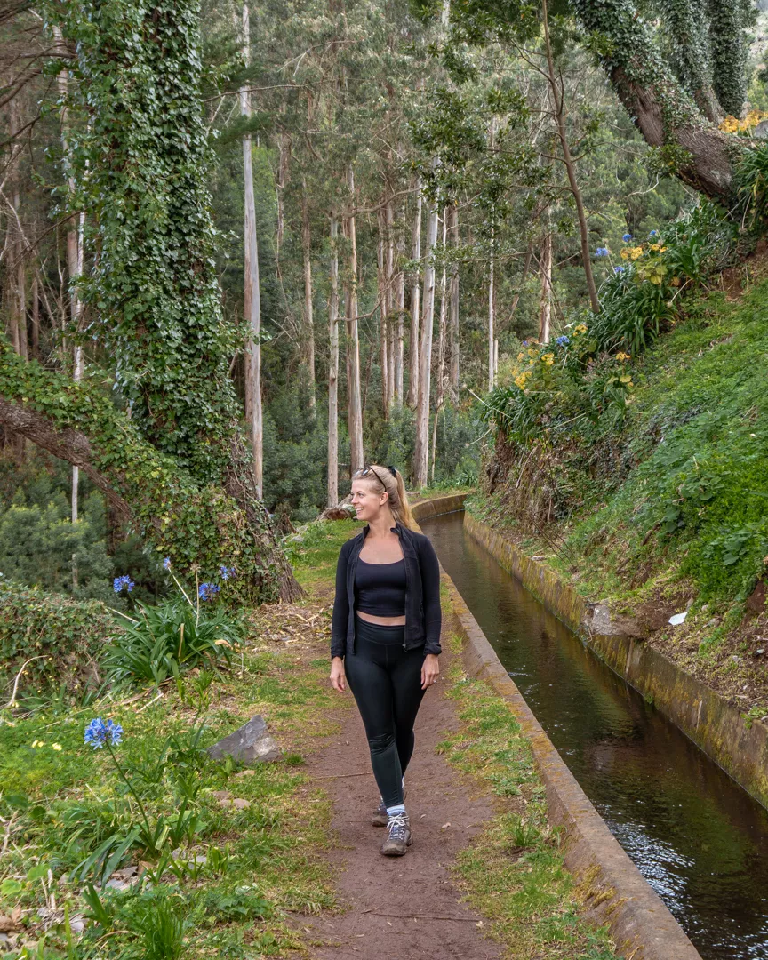
The Levada do Furado trail is one of many trails where you walk next to a Levada for hours and hours. Whenever you go on a Levada walk you can expect a somewhat flat trail with lots of water on it. The Levada do Furado hike is no exception! This hike offers some beautiful waterfalls as well as a few fun water crossings.
The PR10 Levada do Furado starts in Ribeiro Frio which is just north of Funchal. This a popular hiking area that’s easily accessible by public transport or car from Funchal. The hike itself actually starts right in the heart of Ribeiro Frio right next to the bus stop. This makes this hike very convenient to do if you want to take public transport.
The hike itself has a nice trail that zig-zags in the mountains of Madeira. There are lots of small ups and downs throughout the hike passing small waterfalls and small openings where you can see the towns of Santana, Fail, and Porto da Cruz.
There aren’t any crazy waterfalls or incredible views like you get on some of the other hikes in Madeira but it’s all around just a nice hike. If you’re looking for something convenient and not too challenging near Funchal, then this is a nice hike to do.
You can book a guided tour for Levada do Furado here.
Read more: Hiking From Levada do Furado to Levada Portela Near Funchal
#8 PR12 – Caminho Real de Encumeada hike
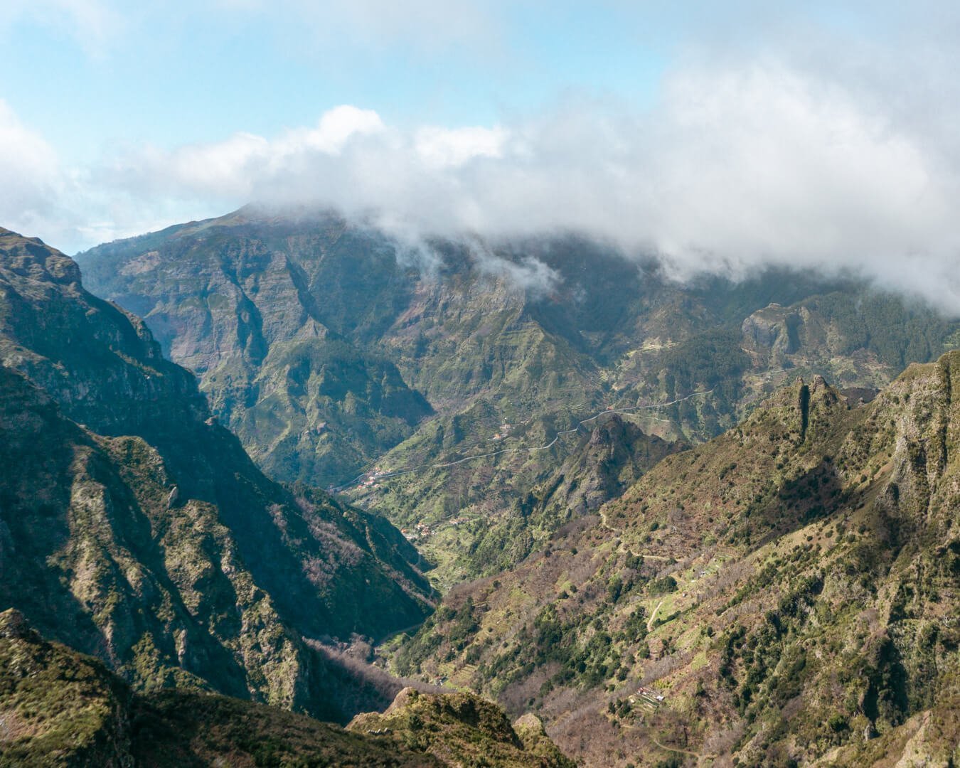
Official trail name: PR12 – Caminho Real da Encumeada
Location: Starts in Jardim da Serra, ends in Serra De Agua
Distance: 12.2 km / 7.58 miles
Elevation: Roughly 702 m / 2300 ft. elevation gain
Type: One-way trail
Length: 4-5 hours total (with breaks, lunch, and taking pictures)
Difficulty: Moderate-Hard (due to the distance)
Rating: 4.5/5
Click here to see a map of the beginning of the Caminho Real da Encumeada.
A fun fact about the PR12 Caminho Real de Encumeada is that it’s known as the King’s Path in Madeira. Even though it’s not the most touristy trail on the island it’s probably one of the most historic one. This trail did in fact get used as a way to get from one side of the island to another back in the day.
You’ll notice some of the sections of the trail where the stones are deep into the ground and it really brings you back into time. With a bit of imagination, you can see how the locals used to cross the island on this trail to barter and trade with people from the other side of Madeira.
This ancient trail is one of the most beautiful hikes in Madeira because it’s so open. You can see miles and miles away and you kind of feel like you’re on top of the world. You can see exactly where in the mountains the trail goes from a very long distance and it’s just stunning.
The hike itself isn’t that challenging if you’re an experienced hiker. Since you start at such a high elevation and stay at a similar elevation the whole trail, the biggest challenge is the distance. It’s one of those trails that’s just beautiful throughout the whole hike and for 12 kilometres you get to see some of Madeira’s most beautiful nature.
If you wish to do this hike as a guided tour, we can highly recommend this Caminho Real da Encumeada private tour.
Read more: Hiking One of the King’s Paths – Caminho Real da Encumeada (PR12)
#9 PR13 – Vereda do Fanal hike
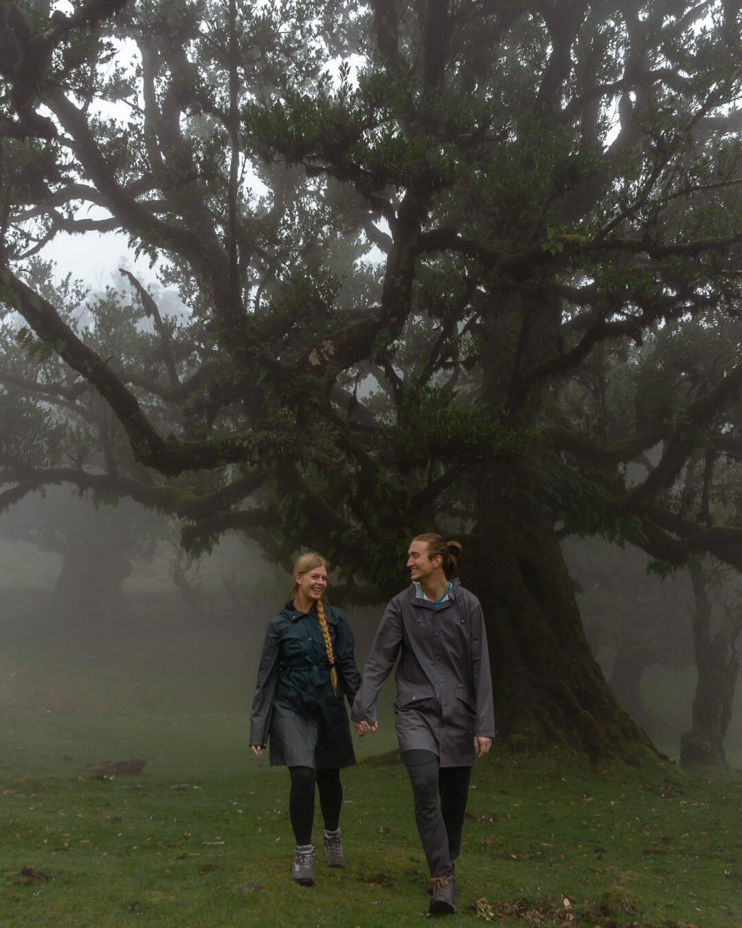
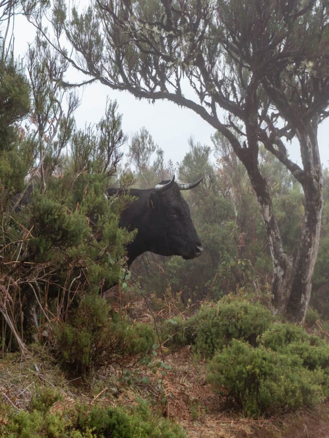
Official trail name: PR13 – Vereda do Fanal
Location: Fanal
Distance: 20.4 km return / 12.67 miles return
Elevation: Roughly 1186 m / 3891 ft. elevation gain
Type: In and out trail
Length: 6-7 hours total (includes time for pictures and a lunch break)
Difficulty: Moderate-Hard (Because of the distance and elevation over time)
Rating: 4 out of 5 stars and 5 stars for the Fanal Forest
Click here to see a map of the beginning of the Vereda do Fanal trail.
PR13 Vereda do Fanal is one of the most unique hikes on the whole island. You’ll never find a forest like this one anywhere else in the world. This fairy-esque forest is incredible, especially on moody days when the fog really comes out and makes everything look misty.
We should mention here that there is a parking lot right in front of the Vereda do Fanal Forest so you don’t actually have to do the whole hike to get to the Fanal Forest. But if you like being out in nature this hike is worth doing.
The hike starts up at the Paul de Serra plateau at the top of the island. From there, you will walk through the forest for the majority of the hike. You will notice as you walk that the landscape change as you get deeper into the forest surrounded by Laurel and Stinkwood trees.
The weather up here is quite special too because it can be sunny everywhere else on the island but up in the Fanal Forest it can be misty and raining which is the perfect conditions to visit the Fanal Forest. So if you’re planning to do this hike or to visit the Fanal Forest, you should try to go on a day with a “bad” weatherforecast!
If you have the whole day we recommend doing the whole hike. The PR13 Vereda do Fanal is long but totally worth it and a very unique experience when it comes to hikes in Madeira.
We did this hike on our own but if we were to do it again we would go with a hike since the trail is an in-and-out trail. You can end the hike at the Fanal Forest which will cut the distance you’re walking in half. if you wish to do this with a guide, you can book a guided tour for the Vereda do Fanal hike here. This is with the tour company that we used and loved for the guided tours we did in Madeira.
Read more: Hiking the Famous Vereda do Fanal, Madeira (PR13)
#10 PR18 – Levada do Rei hike
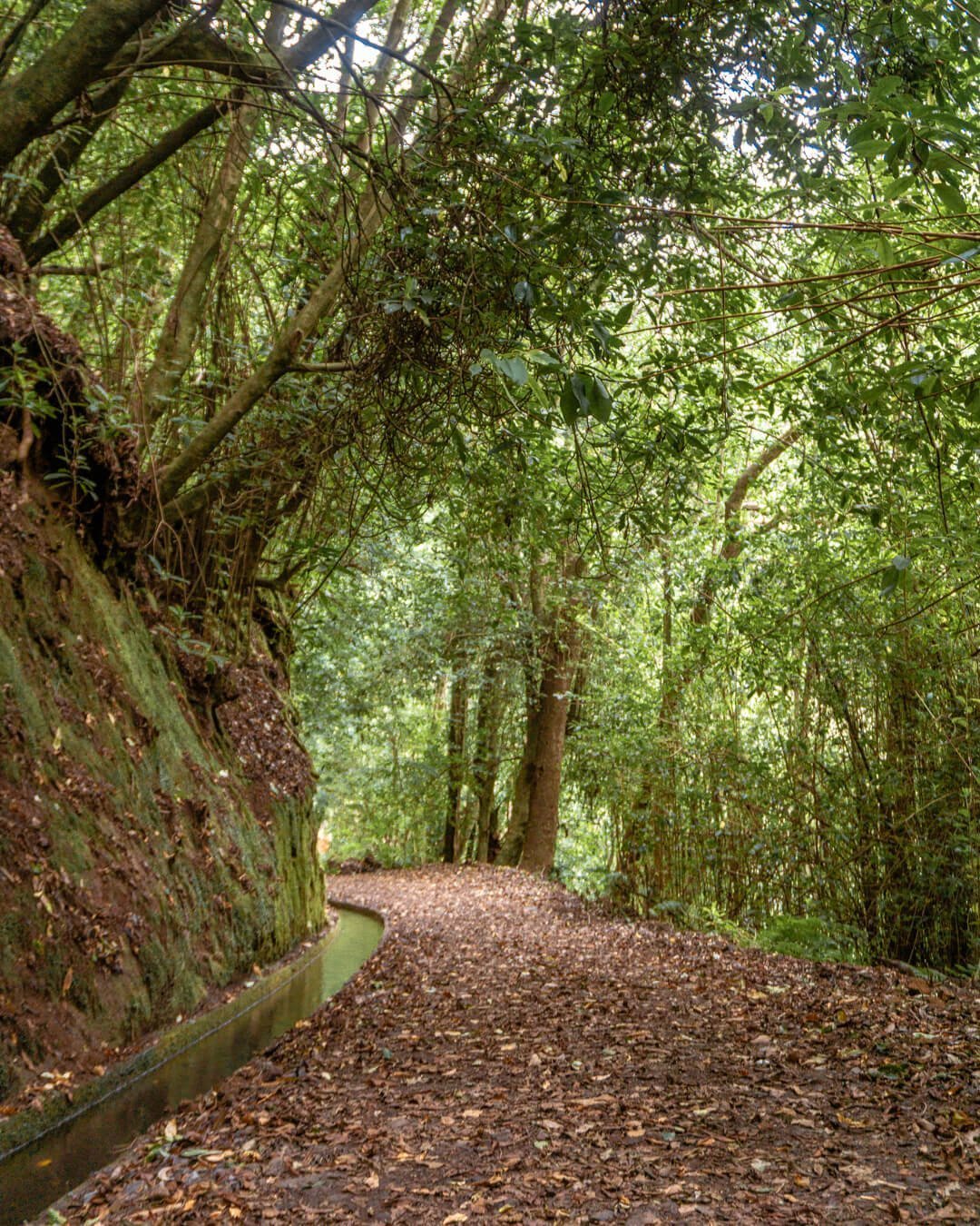
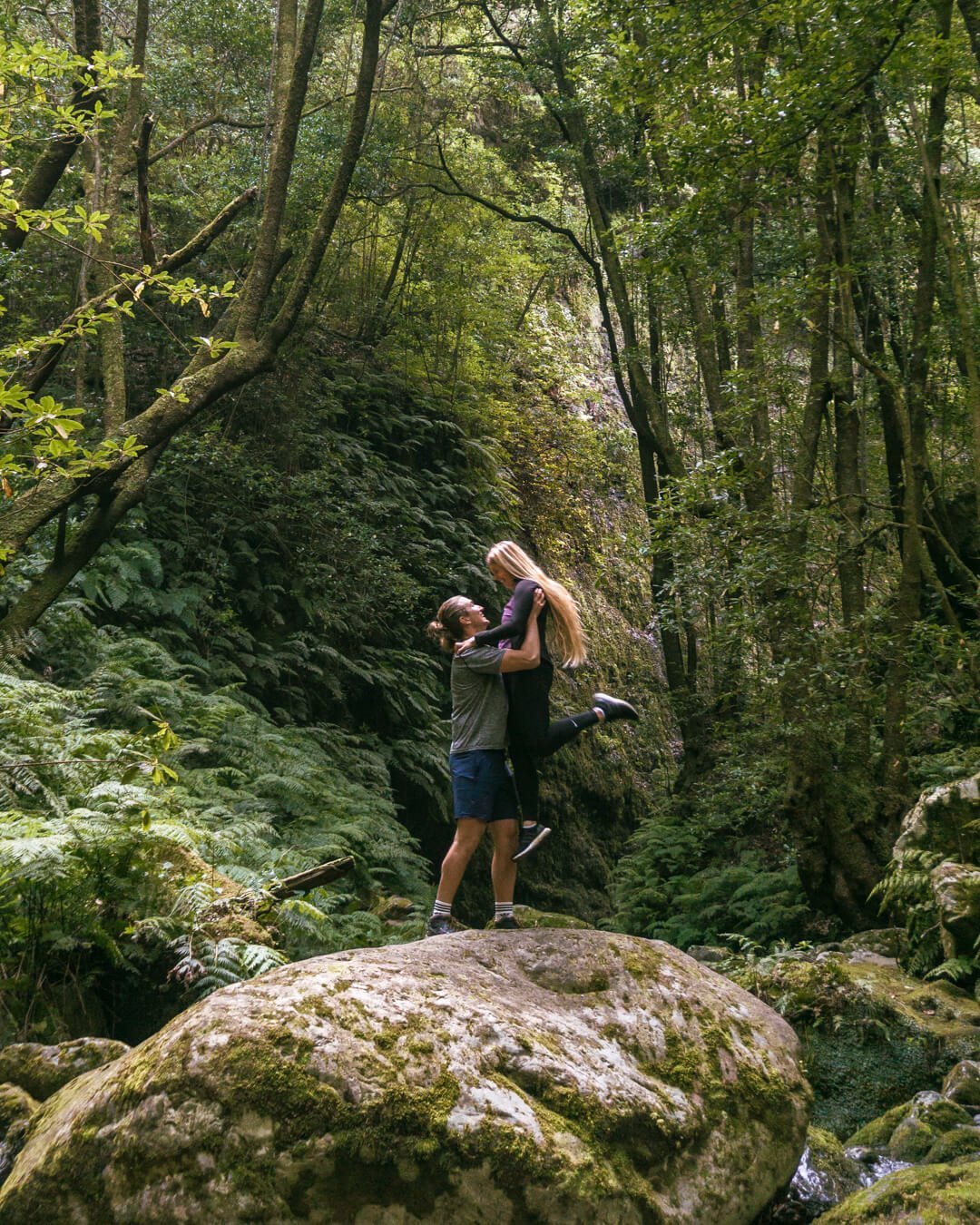
Official trail name: PR18 – Levada do Rei
Location: Sao Jorge
Distance: 9.2 km return / 5.71 miles return
Elevation: Roughly 504 m / 1653 ft. elevation gain
Type: In and out
Length: 2.5-3 hours total (includes time for pictures and a snack/lunch break)
Difficulty: Easy
Rating: 4 out of 5 stars
Click here to see a map of the beginning of the Levada do Rei trail.
PR18 Levada do Rei is one of the most relaxing hikes in Madeira and one of our personal favorites when it comes to Levada walks. Many of the hikes in Madeira, especially the Levada ones, are quite relaxing but still offers so much beauty! That’s exactly the case for Levada do Rei.
From the moment you start the trail you walk parallel to a Levada as you go deeper and deeper into the forest. There are a few sections where you’re more than likely to even get wet walking under these tiny waterfalls that drop onto the trail which is quite fun.
There are some beautiful waterfalls near the end of the hike but if you’re visiting during the warmer and dryer part of the year you won’t see much. Rainy season will be a different story though and the waterfalls will be flowing at full power.
The combination of amazing nature, waterfalls, and the easy trail makes Levada do Rei a nice and relaxing hike to go on any time of the year. It’s one of the easiest hikes in Madeira that also offers great views.
This hike is easy to do on our own if you have a car but if you prefer to go with a guide, you can book a guided tour for the Levada do Rei hike here. This is with the tour company that we used and loved for the guided tours we did in Madeira.
Read more: Hiking the Easy Yet Beautiful PR18 Levada do Rei
#11 Levada do Bom Sucesso – Funchal to Monte
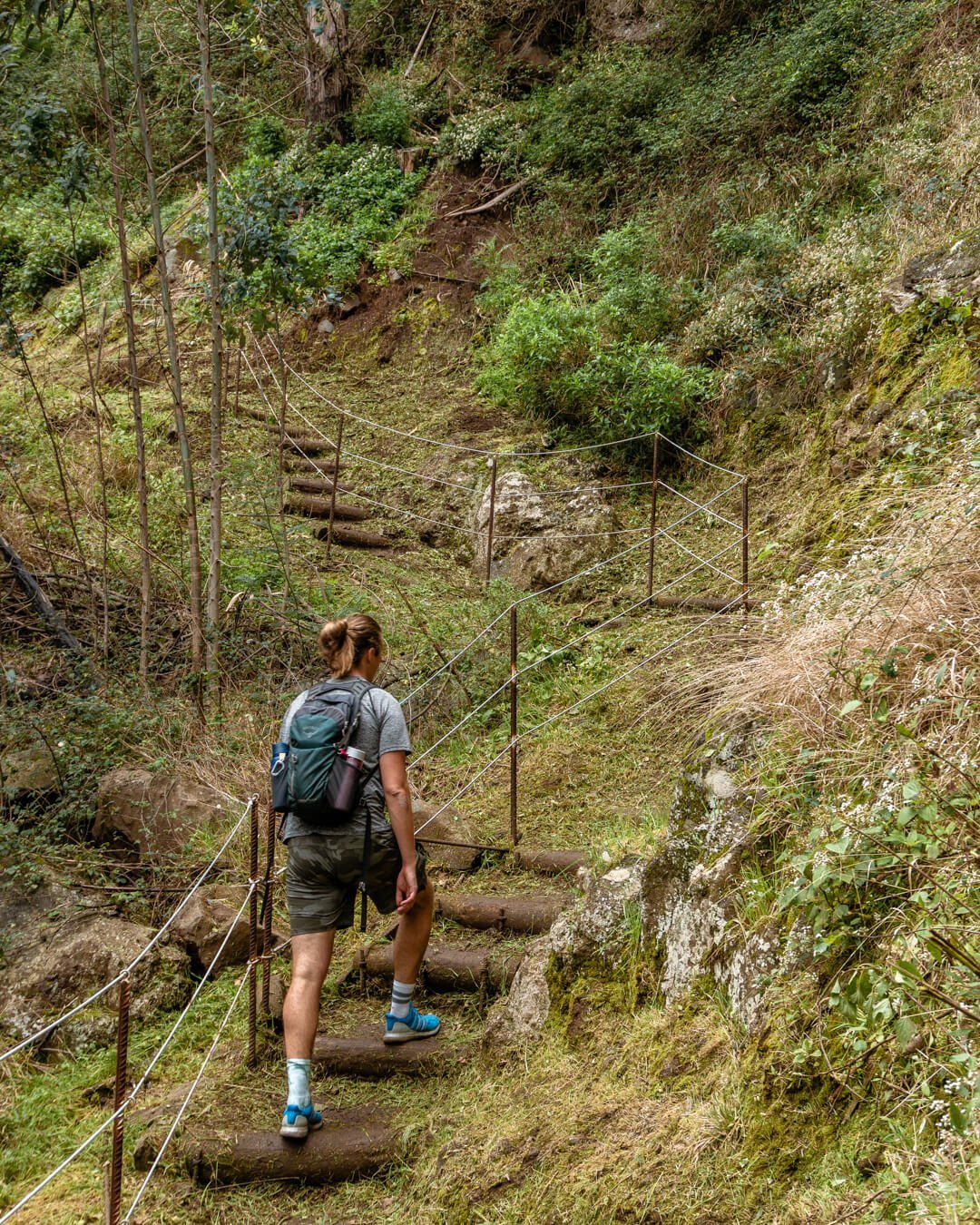
Official trail name: Levada do Bom Sucesso
Location: Funchal to Monte
Distance: 4.2 km to the top/ 2.6 miles to the top
Elevation: Roughly 768 m / 2520 ft. elevation gain
Type: One way
Length: 1.5-2 hours total (from downtown Funchal)
Difficulty: Moderate
Rating: 4/5
Click here to see a map of the beginning of the Levada do Bom Sucesso.
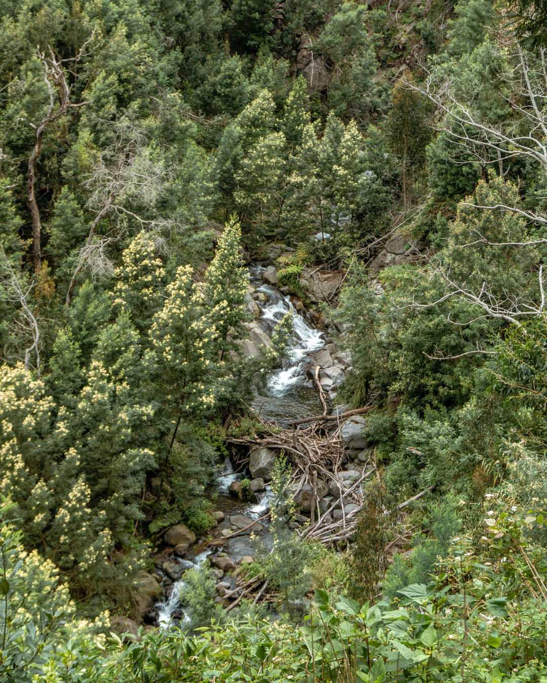
Levada do Bom Sucesso is one of the local hikes you can do right from Funchal. The hike takes you from downtown Funchal up to Monte where from you can see the whole city and the Atlantic Ocean.
The best part of the Levada do Bom Sucesso hike is the fact that you’re hiking in the city without even feeling it with the exception of a few cars you might hear in the far distance.
The trail itself goes into the forest and you don’t even see the city until you’re up in Monte and have a view of Funchal.
As a bonus to this hike, there’s an amazing cafe at the end of the Levada do Bom Sucesso called Land Food & Coffee.
After hiking up this fairly hard hike you can take a little pit stop at the cafe before going back down. The views from the cafe are incredible too, especially on a clear sunny day.
On the way back down you can hike the same trail or ride the Funchal Cable Car back from Monte to downtown Funchal.
It’s hands down the best hike you can do in Funchal and a really fun thing to do if you’re looking to get out of the city and explore a bit of the mountains without going too far away.
Read more: Hiking the Local Levada do Bom Sucesso in Funchal
#12 Vereda do Larano – Levada do Caniçal
Official name: Levada do Caniçal – Vereda do Larano
Location: Starts near Machico and ends near Porto da Cruz
Distance: 12 km return / 7.45 miles return
Elevation: Roughly 967 m / 3173 ft. elevation gain
Type: One-way trail
Length: 3-4 hours total (includes time for pictures and a lunch break)
Difficulty: Moderate-Hard (Just because of the distance)
Rating: 4.5 out of 5 stars
Click here to see a map of the beginning of the Vereda do Larano.
The Vereda do Larano isn’t even one of the PR hikes in Madeira (PR means recommended hikes) but it’s hands down one of the best hikes on the island.
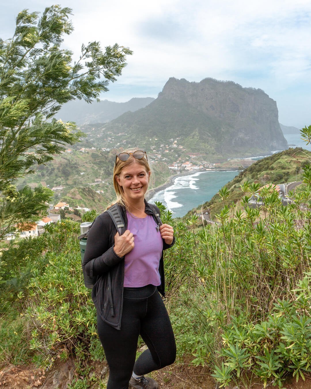
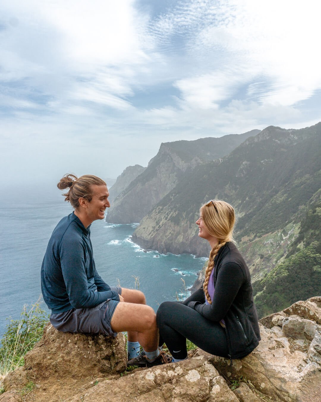
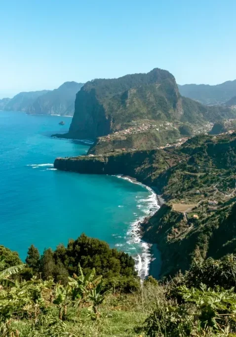
There are no crazy waterfalls or anything like that but the coastline and the views are insane as you can see in the photos above. You start next to a Levada, walk along the coast, and then end next to a Levada again before reaching Porta da Cruz.
For a good portion of the hike, you’re hiking on the eastern coast towards Porto da Cruz where you will be met with the most incredible coastal views for as far as the eye can reach.
Please note that if you’re afraid of heights this hike might feel a bit scary. The drop-offs are pretty crazy but the trail is wide enough for two-three people to walk next to each other and a lot of sections have railings that will keep you safe.
The fact the trail is so high up but you are hiking along the coast makes it feel really extreme but fun at the same time. The views along the Vereda do Larano are some of the best on the island.
The trail is very open and there are views throughout the whole coastal section of Vereda do Larano. The hike can be done in both directions but we recommend starting on the Canical side near Machico and finishing in Porto da Cruz.
You can easily do the Vereda do Larano hike on your own by taking public transport but if you prefer to go with a guide, we can recommend this guided tour of the Vereda do Larano.
Read more: Hiking the Coastal Trail in Madeira – Vereda do Larano
Other related questions about hikes in Madeira
Is Madeira good for hiking?
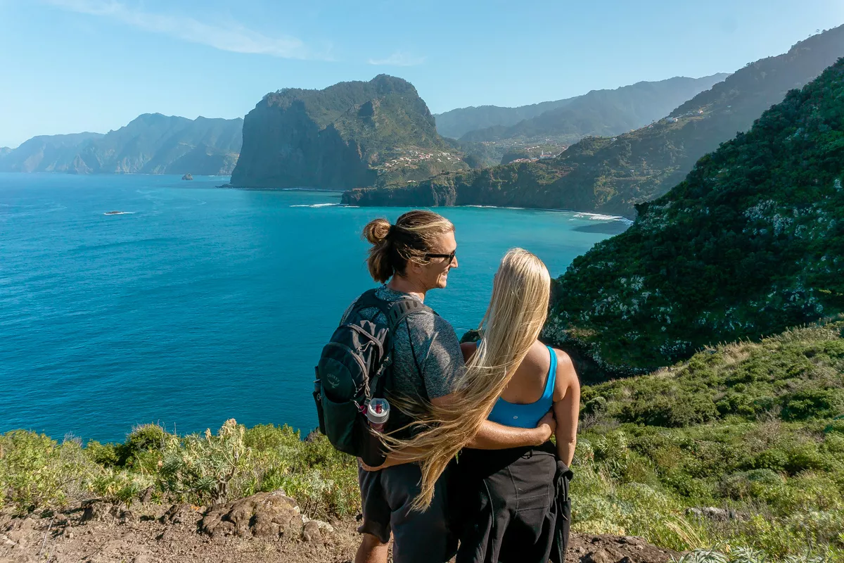
Madeira is amazing for hiking! Madeira is literally covered in hiking trails and almost everywhere on the island you’ll find either Levada walks, hikes to waterfalls, or hikes to the peak of some of the tallest mountains in Madeira like Pico Ruivo and Pico do Arieiro.
Is Madeira good for walking?
One of the best parts about Madeira is how good it is for walking. The majority of the Levada trails in Madeira are quite flat and walkable and rarely have an incline over 2%.
Even though they’re classified as hikes, many of the trails around Madeira are more walks than hikes so it’s perfect for all skill levels.
Which Levada is best in Madeira?
We personally don’t think there is “one” best levada in Madeira. Each and every hike in Madeira is unique and offers something beautiful from that section of the island.
Based on popularity though, Levada 25 Fontes and Levada do Caldeirão Verde are two of the more popular Levada hikes in Madeira.
What is the best month to visit Madeira?
If you’re looking for the best weather then August is the best time to visit Madeira since August is the warmest month.
For us, the best months to visit Madeira are April and May. The rest of Europe still isn’t that warm yet but Madeira is nice and warm during that time of the year.
Another great thing about visiting Madeira in May is that the wildflowers are in full bloom and it’s the best time of year to see whales in Madeira. What’s not to like?
Is Madeira worth visiting?
Madeira is absolutely worth visiting! The island of Madeira is full of Levada walks and hiking trails, amazing restaurants, fresh fruit and vegetables, plenty of things to do, and so much history.
Madeira is an outdoor paradise and if you love exploring new places and being outside you will fall in love with Madeira.
Is it safe to hike in Madeira?
Yes, it’s very safe to hike in Madeira. Madeira is one of the safest places to hike in the world with no dangerous wildlife.
The most dangerous part of hiking in Madeira is that sometimes trails can get quite slick and slippery with all the rain and waterfalls and there are steep drops.
Falling is the most common accident when hiking in Madeira but if you come prepared you can lower the risks by a lot. Always check the weather, check for any trail updates on official websites, and proper hiking shoes.
You may also like…
- 26 of the Best to do in Funchal, Madeira
- 21 Pebble and Sandy Beaches to Visit in Madeira
- 7 Awesome Cafes to Visit in Funchal
- Everything You Need to Know About The Ferry From Funchal to Porto Santo
- The Highest Sea-Cliff in Europe – Cabo Girao Skywalk in Madeira
Recap of 12 of the best hikes to do in Madeira

Madeira is a hiking paradise and there are so many incredible Levada walks, waterfall hikes, and summits you can do.
This list is 12 of the best hikes we’ve done in Madeira but there are still so many other awesome trails to do in Madeira.
In this post, we mixed it up with some coastal walks, fun summit hikes to the peaks of the tallest mountains on Madeira, and a few chilled Levada walks.
That way you have some different options to pick from depending on the type of trail you’re looking for and your skill level and experience!
We hope you have the best time exploring and hiking in Madeira and we’d love to hear which hikes you end up doing or if you have any questions about Madeira at all.
Feel free to leave a comment or DM us on Instagram and we’ll do our best to answer any questions and help you out. Enjoy all the best hikes in Madeira!
Found this post helpful? Save it for later!




Wow there were so many stunning hikes on that list! I love how lush Madeira looks. I’m definitely going to save this for when I make it there!
Yes, Madeira is stunning!! We can highly highly recommend visiting! 🙂
– Jo